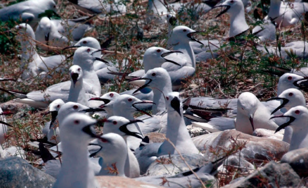
Key Biodiversity Areas: Rapid assessment of birds in Kurdistan, northern Iraq
A survey of bird diversity across 34 sites in Sulaimani, Erbil, and Duhok, documenting species and identifying areas important for conservation.
مسوحات ميدانية وقوائم للأنواع وتقييمات لمناطق التنوع البيولوجي الرئيسية، متاحة للتنزيل مجانًا.
عرض 1–9 من أصل 24 منشورًا
A survey of bird diversity across 34 sites in Sulaimani, Erbil, and Duhok, documenting species and identifying areas important for conservation.
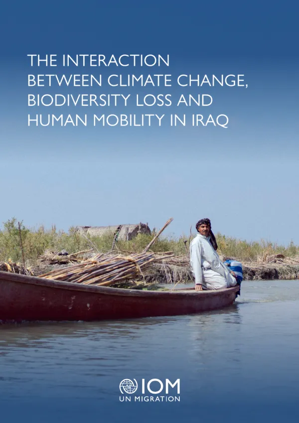
Examines how climate change, ecosystem degradation and human mobility interact across Iraq, including the Kurdistan Region. Combining literature review, stakeholder interviews and spatial analysis, the report explores links between biodiversity, livelihoods and displacement. It recommends coordinated policies, nature-based solutions, improved environmental monitoring and community participation.
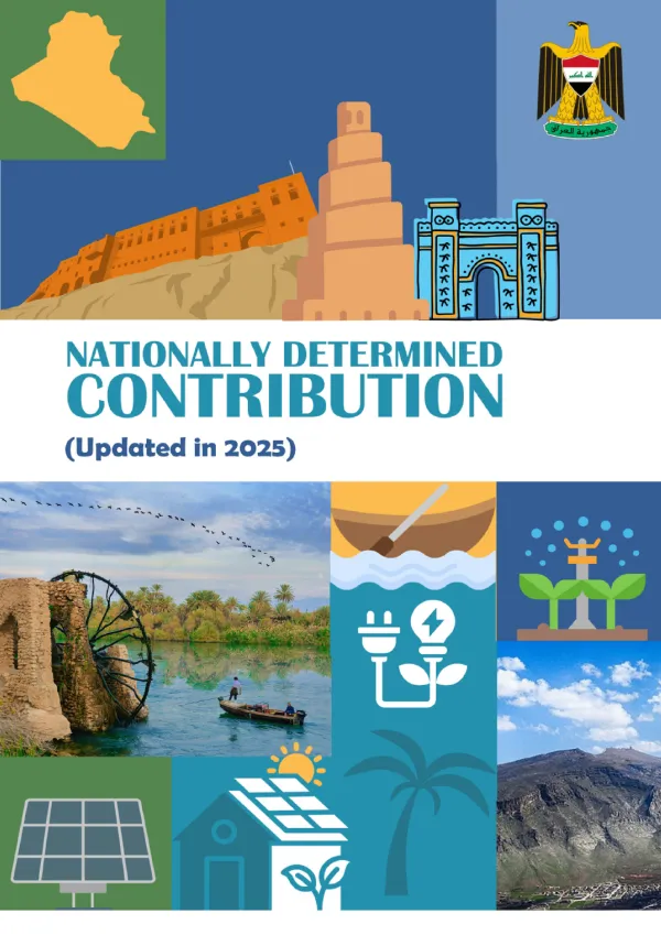
Sets out Iraq’s updated national commitments for addressing climate change through emissions reduction and adaptation. The document covers priority sectors, including agriculture, ecosystems and health, together with implementation, finance and monitoring arrangements. It provides a policy reference for understanding how biodiversity and ecosystem resilience connect with Iraq’s wider climate and development objectives.
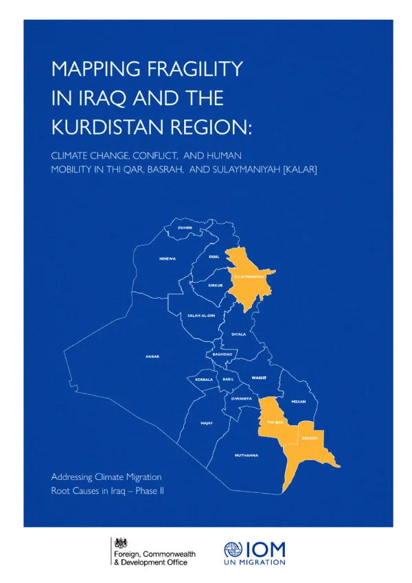
Analyses how climate stress, conflict and socioeconomic pressures interact in Thi Qar, Basrah and Kalar in Sulaymaniyah. The report examines environmental, economic, human, political, security and social dimensions of fragility. It aims to guide targeted responses that strengthen resilience and address the overlapping drivers of displacement and vulnerability.
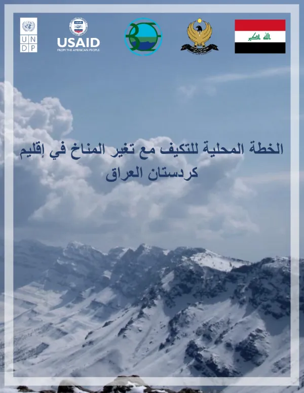
ئەم پلانە ڕێکارەکانی خۆگونجاندن لەگەڵ گۆڕانی کەشوهەوا لە هەرێمی کوردستان دەخاتە ڕوو و مەترسییەکان بۆ سەرچاوەکانی ئاو، کشتوکاڵ، ئاسایشی خۆراک و فرەجۆری زیندەیی و سیستەمە ژینگەییەکان هەڵدەسەنگێنێت. هەروەها پێشینەکانی کارکردن، شێوازی جێبەجێکردن و چاودێری دیاری دەکات، بۆ بەهێزکردنی خۆڕاگری و پاراستنی سەرچاوە سروشتییەکانی هەرێم.
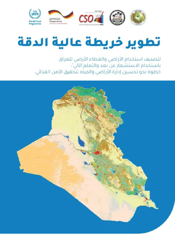
يعرض التقرير تطوير خريطة عالية الدقة لاستخدام الأراضي والغطاء الأرضي في العراق بالاعتماد على الاستشعار عن بعد والتعلم الآلي. ويوفر مرجعاً لفهم توزيع أنماط الأراضي والغطاء الطبيعي، بما يساعد في التخطيط لإدارة الأراضي والمياه وتحسين الأمن الغذائي. وترتبط نتائجه بدراسة الموائل والغطاء النباتي وإدارة الموارد الطبيعية.
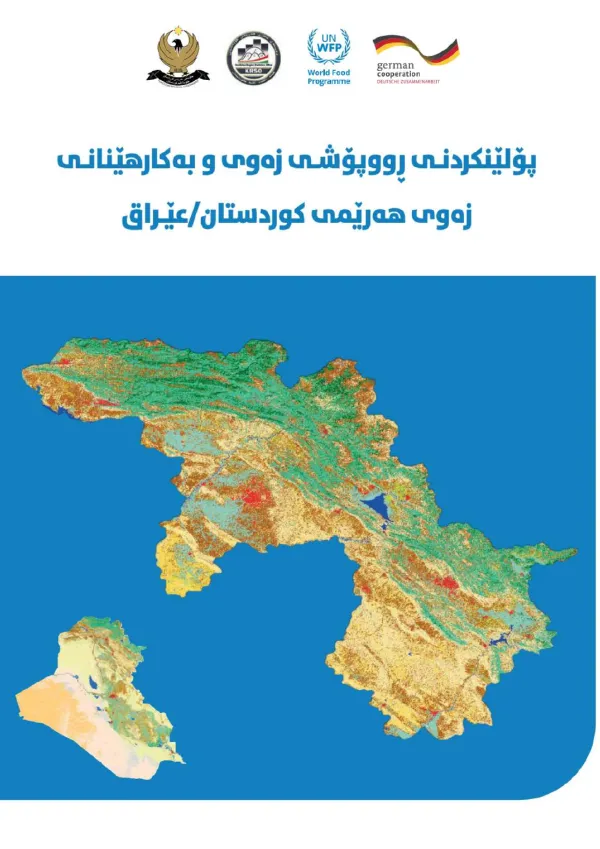
ئەم ڕاپۆرتە پۆلێنکردنی ڕووپۆشی زەوی و بەکارهێنانی زەوی لە هەرێمی کوردستانی عێراق دەخاتە ڕوو. کارەکە زانیاری و نەخشە بۆ تێگەیشتن لە دابەشبوونی جۆرەکانی زەوی و پشتگیری لە بەڕێوەبردنی سەرچاوە سروشتییەکان دابین دەکات. ئەم زانیارییانە دەتوانن لە پلاندانانی بەکارهێنانی زەوی، پاراستنی ژینگە و بەڕێوەبردنی سەرچاوەکانی ئاو سوودبەخش بن.
تحدد الخطة أولويات التكيف مع تغير المناخ في إقليم كردستان العراق، استناداً إلى تقييم المخاطر ومواطن الضعف في قطاعات المياه والزراعة والأمن الغذائي والتنوع البيولوجي والنظم البيئية. وتعرض برامج وتدابير لتعزيز القدرة على الصمود، إلى جانب ترتيبات التنفيذ والتمويل والرصد والمراجعة، بما يدعم حماية الموارد الطبيعية وسبل العيش.
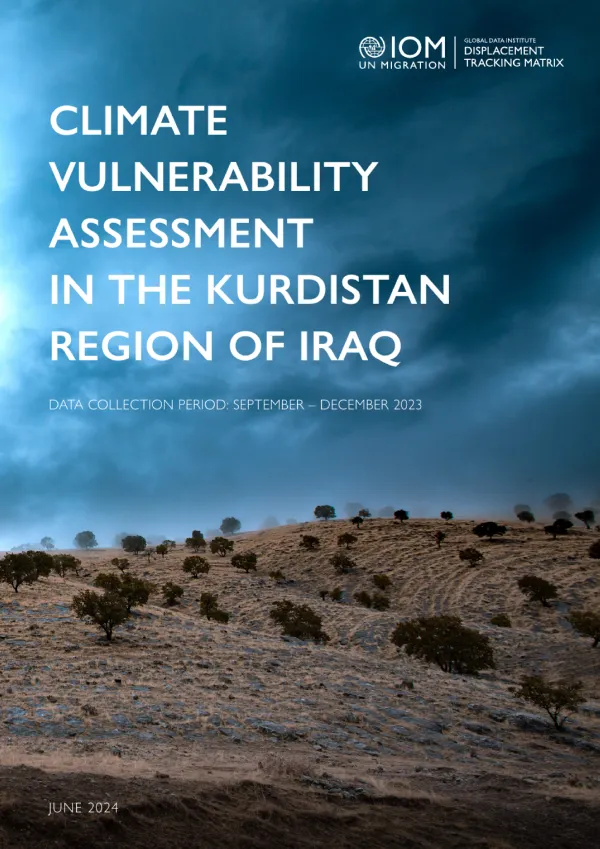
The impact of climate change is less noticeable and more localized in KRI than in central and southern Iraq. No climate-induced displacement, secondary displacement or failed returns were recorded in KRI this round. Additionally, the environmental hazards are largely confined to sand or dust storms and increased temperatures. Sand or dust storms can reduce water quality and disrupt agricultural activities, while increased temperatures heighten rates of evapotranspiration and raise demands for water. Moreover, 1 in 10 locations, mostly in Sulaymaniyah, witnessed drought.
الإجابات مبنية على المحتوى المنشور على Climate.KRD