


- المؤلف
- Applied Remote Sensing & GIS Center, University of Zakho; Ministry of Agriculture and Water Resources, Kurdistan Regional Government
- السنة
- 2015
- النوع
- تقارير ودراسات
- اللغة
- الإنجليزية
- صيغة الملف
الملخص
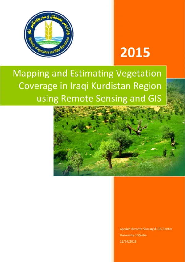
Maps and estimates vegetation cover across the Kurdistan Region using satellite imagery and geographic information systems. Combining work undertaken in Duhok in 2014 with work in Erbil, Sulaymaniyah, Halabja and Garmian in 2015, it presents vegetation distribution by administrative area and elevation. The report supports forest, rangeland and land-management planning.
اقرأ المنشور
لا يستطيع هذا المتصفح عرض ملف PDF هنا
افتحه في علامة تبويب جديدة أو نزّله لقراءته.